Passar para o conteúdo principal

Introductory Geographic Information Systems (GIS)

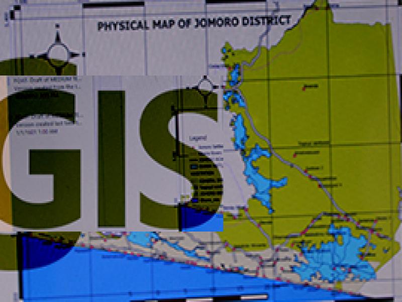
Designed to provide relevant and applicable knowledge and skills in GIS for beginners, the course incorporates proven learning principles and provides insight into the tools and techniques of geospatial data creation, analysis, modeling and mapping for monitoring and evaluation.

What Will You Learn?
  • Introduction to GIS and remote sensing

  • Data structure and models

  • Coordinate systems and Map projections

  • Data creation and visualization

  • Global positioning systems (GPS)

  • Effective GIS team, leadership and communication

Lecturer(s)
Dr. Richard Adade
Geospatial Information Unit Coordinator, Research Theme Lead- Climate Change Adaptation and Mitigation
Information Of Programme
Duration
One week
Categoria

Introductory Geographic Information Systems

The aim is to enhance the geospatial analytical skills of participants for sustainable development of coastal areas.

Who should attend?

The short courses are well suited for representatives and mid-career professionals from government, non-governmental organisations and civil society groups, donor entities, international organisations, industries, consulting firms, businesses and corporations, lecturers, students, and individuals who wish to gain a comprehensive insight into the application of modern tools such as GIS and remote sensing, and integrate climate change concept into managing fisheries and coastal resources are welcome!


Register Now


Programme Features

Courses

Content not published