Africa Centre of Excellence in Coastal Resilience |  University of Cape Coast
Image
Posted On
Thursday, November 20, 2025 - 11:06
Body
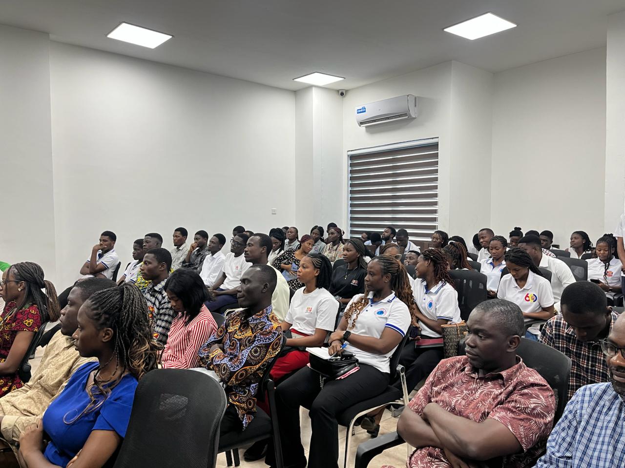
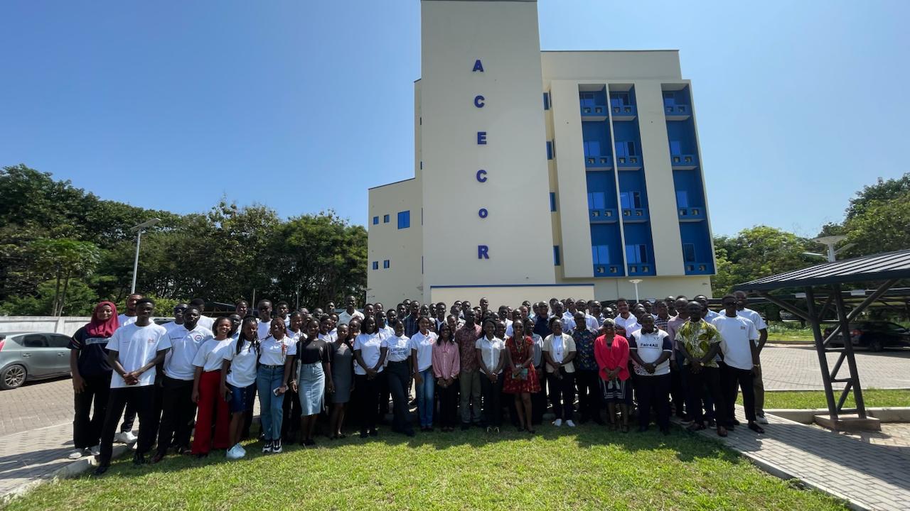
On November 19, 2025, the Center for Coastal Management brought together researchers, policymakers, and students to mark the 2025 World Geographic Information Systems (GIS) Day Celebration.
The event, focused on exploring how GIS and remote sensing can be utilized more effectively for environmental management, is part of CCM’s efforts to advance spatial awareness and intelligence across sectors.
Prof. Precious Mattah, acting director of the Center for Coastal Management, in his address, indicated that the day was meant to highlight how spatial intelligence can drive real world solutions and shape a sustainable future.
According to him, Geographic Information Systems is a catalyst for informed action rather than merely a technical tool, as it helps in tracking coastal erosion, mapping deforestation, and monitoring water systems.
Prof. Mattah further stated that GIS is about a vision that seeks to empower decision-makers, engage communities, and build the bridge between data and development to ensure that no ecosystem, coastline, or community is left behind in the fight for environmental justice and spatial equity.
At the session, organizations like the Community Water and Sanitation Agency. Environmental Justice Foundation, Environmental Protection Authority, H3n Mpoano, Friends of the Nation, and Youth Mappers shared their experiences with the use of GIS in data collection, data processing, and data analysis.
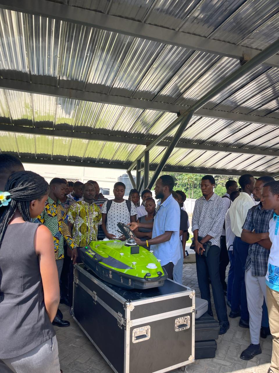
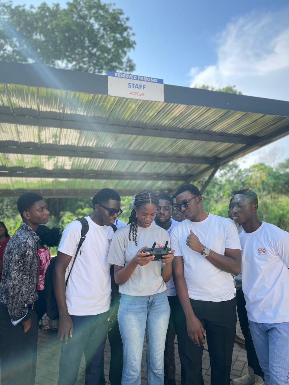
The need for most institutions to adopt GIS in tackling modern environmental challenges was reiterated. The event also allowed for a drone technology exhibition to equip participants with the practical use of remote sensing for environmental monitoring and research.

Last modified