Africa Centre of Excellence in Coastal Resilience |  University of Cape Coast
Image
Posted On
Saturday, July 5, 2025 - 13:26
Body
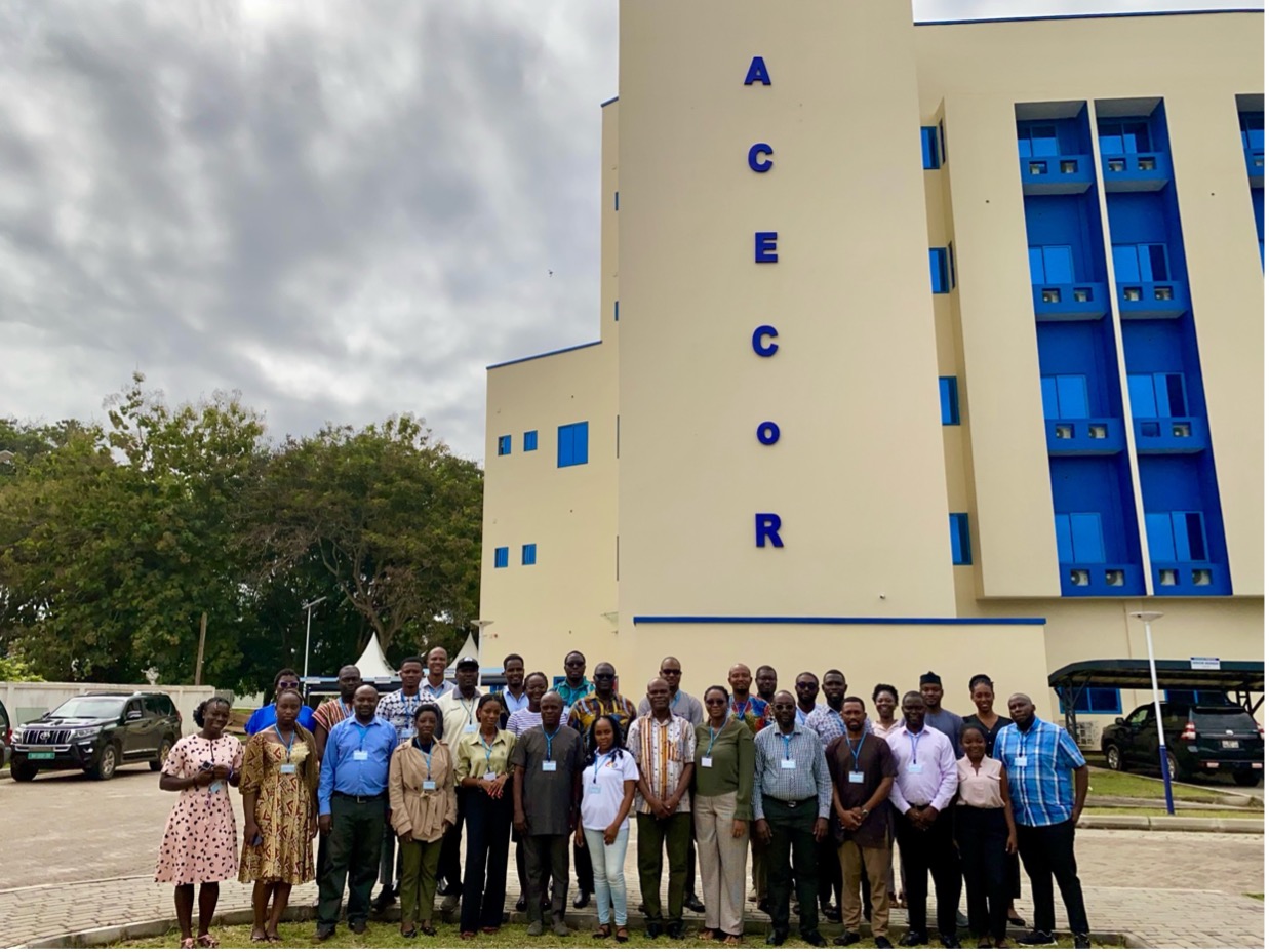
From 30th June to 4th July 2025, the Centre for Coastal Management (CCM) and the Africa Centre of Excellence in Coastal Resilience (ACECoR) at the University of Cape Coast (UCC), together with the West Africa Coastal Areas Management Program (WACA) under the Ministry of Environment, Science and Technology (MESTI), hosted an intensive week-long workshop that is already transforming how practitioners safeguard our coasts. Under the theme “GIS and Remote Sensing in Coastal Management,” coastal managers, researchers, and policymakers from across Africa gathered at UCC to build hands-on skills in one of the most powerful tool-sets for 21st-century environmental stewardship.
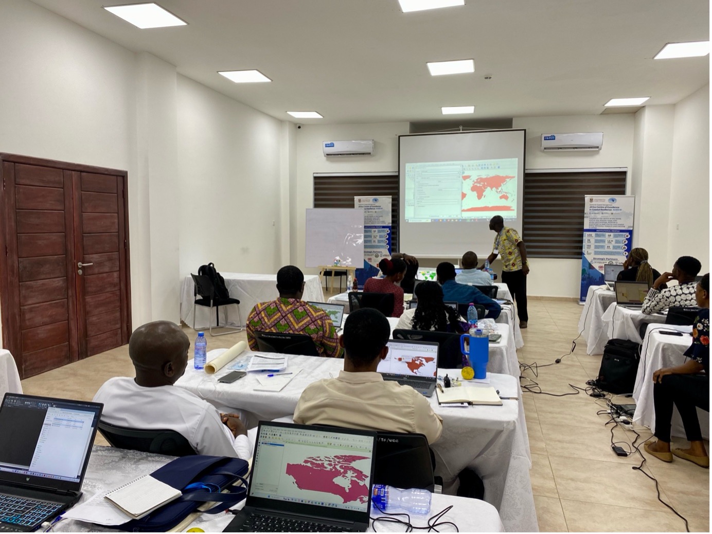
Participants engaged in modules such as Introduction to GIS and Remote Sensing (led by Mr. Christian Kwesi Owusu), GIS Data Structures and Visualization (taught by Dr. Osman Adams), and Coordinate Systems and Map Projection (facilitated by Mr. Kingsley Osei). They also learned Spatial Analysis and Drone Mapping Techniques with Dr. Richard Adade, gaining practical experience in spatial overlay, geo-processing and drone data collection.
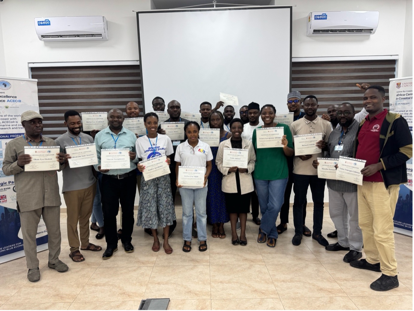
In his keynote address, CCM’s Deputy Director, Professor Precious Mattah, reminded participants that “effective coastal governance begins with clear, data-driven insights.” For many attendees, this training marked a turning point. Beyond the skills gained, the workshop fostered regional networks as participants exchanged contacts and formed peer support groups that transcend borders. With coastal populations projected to rise and climate pressures intensifying, the demand for skilled geospatial practitioners has never been greater. CCM-ACECoR and WACA remain committed to scaling up this training, expanding both the number of beneficiaries and the depth of technical modules, including advanced time series analyses.
Last modified